I have over 20 years of experience in GIS and Mapping, including both modern and historical mapping projects for urban planning and infrastructure, emergency response, and digital archiving of 9/11 geographic materials. I have been a board member of GISMO since 2013.
Featured Interactive Maps
Geodata Startup Business Development: I am working with GISMO and the New York Geospatial Catalysts (NYGeoCATS) on developing an ongoing series of public and private interactions to introduce companies and individuals involved in the geodata community in New York City. These meetings are being facilitated with a goal to promote open access and availability of geospatial data from providers to users.
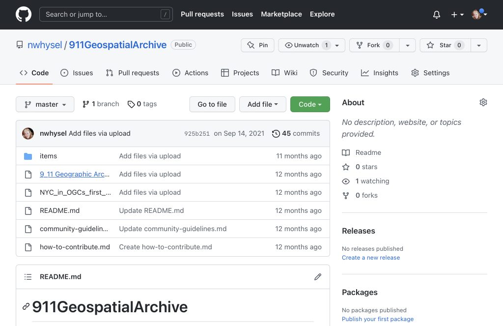
9/11 Geospatial Archive: Along with members of GISMO, a NYC GIS community, and funding from the Fund for the City of New York, I curated a digital archive of geospatial artifacts related to the September 11, 2001 World Trade Center bombing.
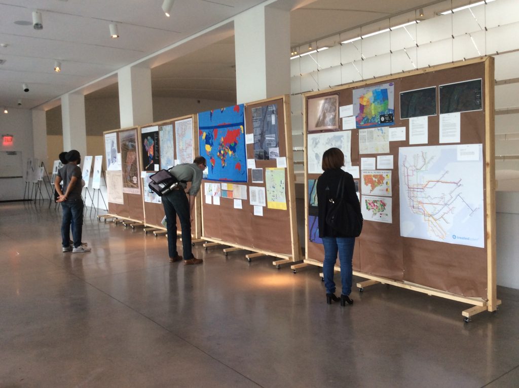
Map Mosaic: From Queens to the World: I co-curated a Queens-themed festival and exhibit at the Queens Museum with Amy Jeu of Hunter College. The exhibit included a series of live presentations and children’s activities as part of the 25th Anniversary of GISMO.

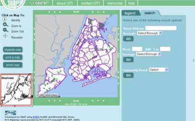
Emergency Management: OEM Timeline: An interactive map presentation developed in ArcGIS for the NYC Office of Emergency Management and presented at various conferences and events.
NYC Community Gardens: A interactive map presentation in CartoDB
New York City Community Gardens by County
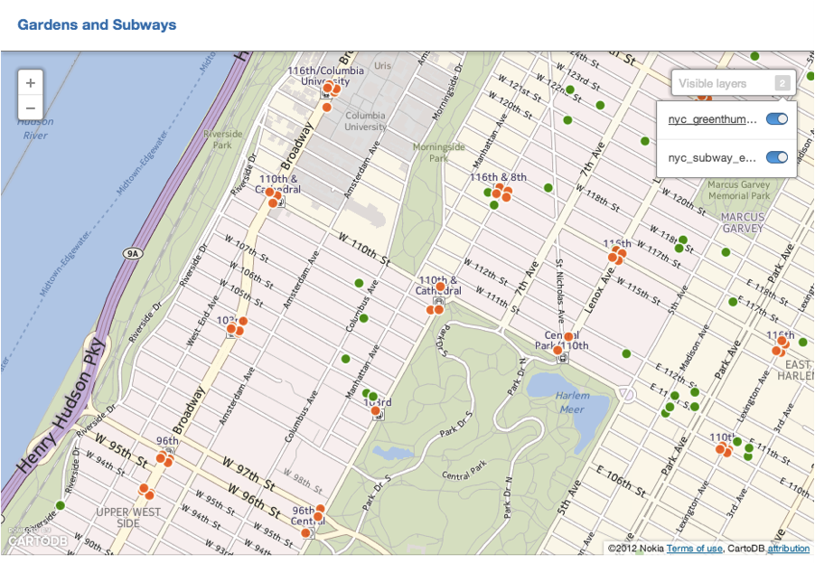
New York City Community Gardens and Subways
Documentation