
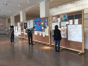
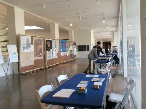
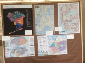
Amy Jeu and I curated a weekend exhibit, Map Mosaic: From Queens to the World, on October 29-30, 2017 at the Queens Museum celebrating the map-making community. The event featured talks and demonstrations as well as a hall dedicated to paper and digital maps submitted from the private collections of members of the GISMO community. These maps represent a wide range of themes including the diverse Queens neighborhood and demographics, urban planning, environmental studies, election analysis and more.
My Submissions
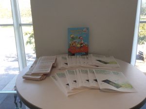
For my contribution to the exhibit, I created a cutout map of the 1964 World’s Fairgrounds to teach children how map layers work in GIS. This series of maps, printed on acrylic transparency sheeting can be stacked to show through various layers: Base Map, Parks, Buildings, Streets/Paths. We also provided additional paper and colored pencils for children to use. This activity helped younger visitors to understand the concept of map layers in GIS.
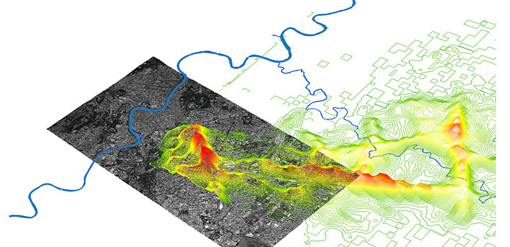
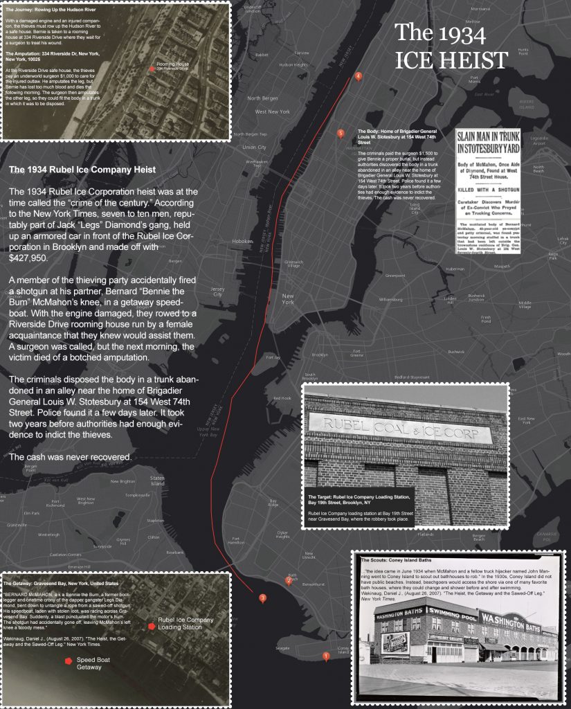
Because the event was held over Halloween weekend, I also contributed a set of themed maps with Halloween parade routes and a “Crime of the Century” story map retelling the activities from the 1934 Ice House Heist in Brooklyn and Upper West Side Manhattan. The piece included reproductions of aerial photographs from the time period.
Documentation
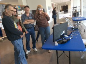
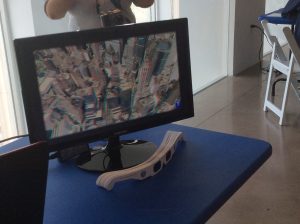
Each item in the exhibition included a placard indicating the name of the mapmaker, the materials used and a brief description of the subject. We used icons to indicate whether an interactive version was available at the computer stations or that the mapmaker is also a speaker in our forum.

Interactive Map

Speaker
Amy Jeu created the flyer and copy for the exhibit which was published on the Queens Museum website and the signage used for the exhibit and presentations. I created the placards and the online exhibit catalog.
Archive
The Map Mosaic event was privately curated. Queens Museum published an announcement and the exhibit catalog and list of interactive maps are available at GISMO’s Website. The acrylic manipulative work is located in the GISMO archive. All maps produced by the NYC Office of Emergency Management were donated to the Queens Museum and all other, individual artwork was returned to the artists.
Queens Museum Website Announcement
Exhibit Catalog
Interactive Maps